 Nederlands
 Dansk
Dansk østerreichisch
 Po Polsku
 Italiano
 Francaise
 Portugiesisch

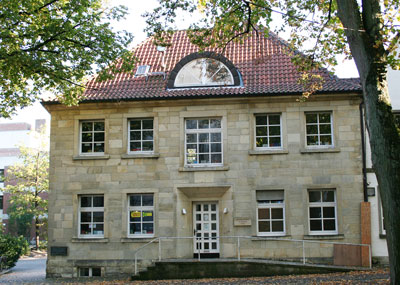
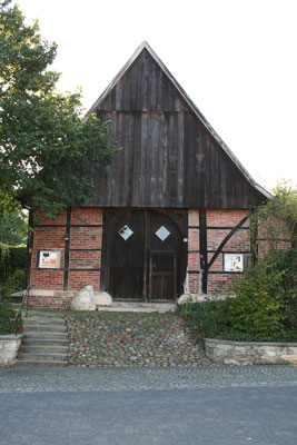
Havixbeck
Havixbeck is situated at the foot of the Baumberge, which is with 187m, the highest point in the Münsterland. West of the village the Münstersche river Aa, has its source, which flows into the river Ems after it crosses through the city of Münster near Greven.
Pre and early historic settlement in the Havixbeck area has been proved by archaeological finds (Tardenoisien-finds in the farming community in the year 1938).
In the year 890, Geldrike was named in a register of the abbey Werden. Geldrike is a spelling variant of Chelderike or Childerich. He lived from ca. 430 to 480AD, he was the caretaker (king) of Austrasia and was sent into exile for some years. That Childerich was here, can't be directly proved beyond doubt (excavations haven't been executed just yet). But the name of the neighbouring village suggests that Childerich was here.
This neighbouring village was called Basinseli or Basenseli 890 AD . BasinaBasena was the name of Childerich's wife. This means, that Geldrike was named around 450 AD and this name, was passed on orally as then customary and written down in Werden around 890 AD. The same applies for Basinseli, today Bösensell.
Around the year 900, the cathedral Münster received by gift a Schultenhof (farm) in Geldrike. In 1040, another farm was signed over by Bishop Hermann I of Münster to the Münster cathedral chapter Überwasser. On its ground, the village originated, which was called Havkesbierk, Havekesbeke, Hauekesbeche and Havixbeck from 1137 onwards.


